Construction Companies use GSatTrack for BIM
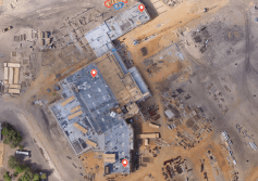
Most GIS systems incorporate mapping imagery or layers is by purchasing licenses from a single mapping provider. This provider may also offer additional historical satellite imagery for use by the GIS provider, but the images provided may be antiquated or out of date, with recent construction or natural events...
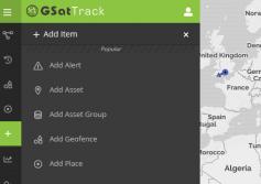
GSatTrack How to Series: Accessing the UI
Scott walks us through the basics of the GSatTrack User Interface.
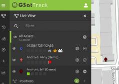
GSatTrack How to Series: Live Mode
Scott shows us the basic interface for the Live Mode in GSatTrack.
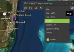
GSatTrack How to Series: Map Tiles
Scott takes a minute to explain the different map view options from the map control panel.


